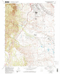
1961 Map of Cheyenne Mountain
USGS Topo · Published 1994About this map
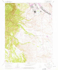
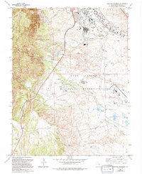
Cheyenne Mountain dominates the western landscape of this 1961 survey, serving as the backdrop for significant cold-war era military infrastructure. The presence of the Cheyenne Mountain Air Force Base and the sprawling Fort Carson Military Reservation highlights the region's strategic importance during the latter half of the 20th century. While the mountainside is heavily utilized for defense, the valley below displays a mix of institutional and residential life, including Evans Hospital, Carson Middle Sch, and the Mobile Home Park.
Find a feature on this map
41 named features on this map. Tap any name to fly to it.
Don’t see what you’re looking for? This feature index may not catch every label — zoom into the map to look around manually.
Map Details
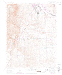
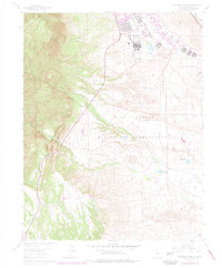
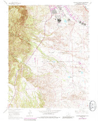
Editions of this 1961 Cheyenne Mountain Map
9 editions found
Other maps of this area

1893 · Colorado Springs
USGS Topo · 1:125,000

1909 · Colorado Springs
USGS Topo · 1:125,000

1942 · Colorado Springs
USGS Topo · 1:125,000

1948 · Mount Big Chief
USGS Topo · 1:24,000

1948 · Mount Pittsburg
USGS Topo · 1:24,000

1948 · Timber Mountain
USGS Topo · 1:24,000

1948 · Manitou Springs
USGS Topo · 1:24,000

1948 · Colorado Springs
USGS Topo · 1:62,500

1948 · Fountain
USGS Topo · 1:24,000

1948 · Colorado Springs
USGS Topo · 1:24,000