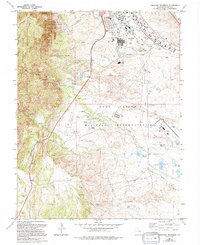
1961 Map of Cheyenne Mountain
USGS Topo · Published 1994About this map
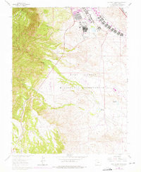
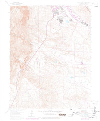
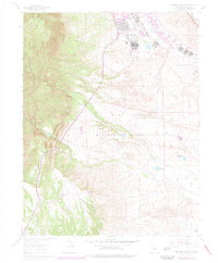
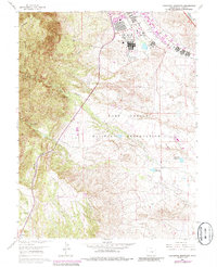
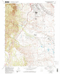
Cheyenne Mountain Air Force Base dominates the western topography of this Colorado landscape, where the transition from the Pike National Forest meets the sprawling expansion of the Fort Carson Military Reservation. The map captures a high density of military and utility infrastructure, including the aviation facilities at Butts Airfield and the medical services of Evans Hospital. The urban-military boundary is clearly marked by the Colorado Springs Corporate Boundary, which separates specialized residential zones like the Mobile Home Park from tactical areas such as the Pistol Range and various Rifle Ranges. To the south, the terrain opens into ranching and water management, featuring the Hitch Rack Ranch and the Haymes Reservoir along the drainage of Rock Creek, illustrating how the region's geography serves both defense operations and local agriculture.
Find a feature on this map
57 named features on this map. Tap any name to fly to it.
Don’t see what you’re looking for? This feature index may not catch every label — zoom into the map to look around manually.
Map Details
Editions of this 1961 Cheyenne Mountain Map
9 editions found
Other maps of this area

1893 · Colorado Springs
USGS Topo · 1:125,000

1909 · Colorado Springs
USGS Topo · 1:125,000

1942 · Colorado Springs
USGS Topo · 1:125,000

1948 · Mount Big Chief
USGS Topo · 1:24,000

1948 · Mount Pittsburg
USGS Topo · 1:24,000

1948 · Timber Mountain
USGS Topo · 1:24,000

1948 · Manitou Springs
USGS Topo · 1:24,000

1948 · Colorado Springs
USGS Topo · 1:62,500

1948 · Fountain
USGS Topo · 1:24,000

1948 · Colorado Springs
USGS Topo · 1:24,000