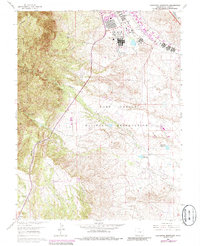
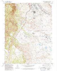
1961 Map of Cheyenne Mountain
USGS Topo · Published 1985About this map
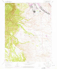
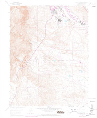
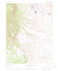
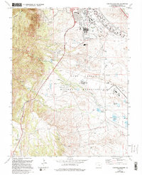
Fort Carson and its sprawling Fort Carson Military Reservation dominate the eastern plains, where development meets the rising slopes of the Front Range. This mid-century survey illustrates the base's extensive infrastructure, including Butts Airfield, a Hospital, and even a Swimming Pool and Golf Course. To the west, the terrain shifts abruptly into the high elevations of the Pike National Forest and the iconic Cheyenne Mountain. The landscape is carved by numerous drainage systems such as Deadman Canyon and Turkey Creek, which flow toward the Little Fountain Creek watershed. This edition includes purple revisions from the late 1960s and 1970s, showing the evolving footprint of military housing and support facilities against the backdrop of Rock Creek Park and the isolated Hitch Rack Ranch.
Find a feature on this map
22 named features on this map. Tap any name to fly to it.
Don’t see what you’re looking for? This feature index may not catch every label — zoom into the map to look around manually.
Map Details
Editions of this 1961 Cheyenne Mountain Map
9 editions found
Other maps of this area

1893 · Colorado Springs
USGS Topo · 1:125,000

1909 · Colorado Springs
USGS Topo · 1:125,000

1942 · Colorado Springs
USGS Topo · 1:125,000

1948 · Mount Big Chief
USGS Topo · 1:24,000

1948 · Mount Pittsburg
USGS Topo · 1:24,000

1948 · Timber Mountain
USGS Topo · 1:24,000

1948 · Manitou Springs
USGS Topo · 1:24,000

1948 · Colorado Springs
USGS Topo · 1:62,500

1948 · Fountain
USGS Topo · 1:24,000

1948 · Colorado Springs
USGS Topo · 1:24,000