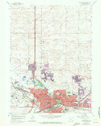
1961 Map of Cheyenne North
USGS Topo · Published 1972About this map
Francis E Warren Air Force Base dominates the western landscape of this 1961 survey, where the expanding footprint of Wyoming's capital city meets the high plains. The map illustrates a city in transition, with purple revisions from 1970 showing the growth of neighborhoods like Western Hills and the development of the Buffalo Ridge Sch area. Historically significant sites such as Frontier Park, the famed rodeo grounds, sit near Lions Park and the chain of urban lakes including Sloan Lake and Lake Absarraca. The downtown core is densely detailed, featuring St Mary Cathedral, the First Presbyterian Ch, and civic landmarks like the Museum and City Hall. To the south, the industrial influence of the Union Pacific and Burlington Northern railroads is evident near the Oil Refinery, while the Cheyenne Municipal Airport anchors the northeastern expansion.
Find a feature on this map
79 named features on this map. Tap any name to fly to it.
Don’t see what you’re looking for? This feature index may not catch every label — zoom into the map to look around manually.
Map Details
Editions of this 1961 Cheyenne North Map
3 editions found
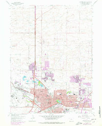
Other maps of this area

1911 · Cheyenne
USGS Topo · 1:125,000

1914 · Cheyenne
USGS Topo · 1:125,000

1950 · Cheyenne
USGS Topo · 1:62,500

1954 · Cheyenne
USGS Topo · 1:250,000

1958 · Cheyenne
USGS Topo · 1:250,000

1961 · Round Top Lake
USGS Topo · 1:24,000

1961 · Cheyenne South
USGS Topo · 1:24,000
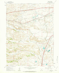
1961 · Borie
USGS Topo · 1:24,000

1961 · Cheyenne
USGS Topo · 1:62,500

1961 · Cheyenne North
USGS Topo · 1:24,000