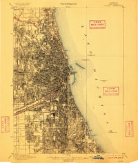
1901 Map of Chicago
USGS Topo · Published 1909About this map
The dense urban grid of early 1900s Chicago radiates from the mouth of the Chicago River, revealing a city defined by its massive rail infrastructure and industrial waterways. This 1901 survey illustrates the complex hydraulic engineering of the era, showing the parallel paths of the Illinois and Michigan Canal and the Sanitary and Ship Canal as they cut southwest from the South Branch Chicago River. The shoreline of Lake Michigan is dotted with several Waterworks Crib structures, essential to the city's burgeoning water system. On the periphery, established neighborhoods like Mayfair and Chicago Lawn appear as distinct nodes within the expanding municipal limits, while expansive greenspaces such as Jackson Park and Rose Hill Cemetery provide significant landmarks. The map traces an incredible density of competing rail lines, including the Belt Line and Illinois Central R. R., which fueled the city's rapid growth as a Midwestern transport hub.
Find a feature on this map
36 named features on this map. Tap any name to fly to it.
Don’t see what you’re looking for? This feature index may not catch every label — zoom into the map to look around manually.
Map Details
Editions of this 1901 Chicago Map
5 editions found

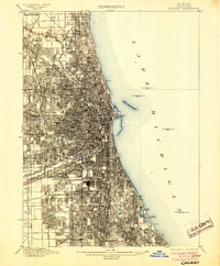
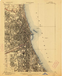
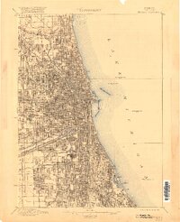
Other maps of this area

1889 · Chicago
USGS Topo · 1:62,500

1890 · Des Plaines
USGS Topo · 1:62,500

1891 · Chicago
USGS Topo · 1:62,500

1891 · Riverside
USGS Topo · 1:62,500

1892 · Calumet
USGS Topo · 1:62,500

1893 · Calumet
USGS Topo · 1:62,500

1893 · Riverside
USGS Topo · 1:62,500

1894 · Des Plaines
USGS Topo · 1:62,500

1899 · Evanston
USGS Topo · 1:62,500

1900 · Chicago
USGS Topo · 1:62,500