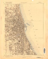
1901 Map of Chicago
USGS Topo · Published 1920About this map
Lake Michigan dominates the eastern edge of this dense urban study, where the city's complex relationship with water is clearly delineated. The massive engineering projects of the era are on full display, notably the Sanitary and Ship Canal and the older Illinois and Michigan Canal as they diverge from the South Branch Chicago River. Offshore, several Cribs and the Waterworks Crib L.H. mark the critical infrastructure used to draw fresh water from the lake for a rapidly growing population.
Find a feature on this map
36 named features on this map. Tap any name to fly to it.
Don’t see what you’re looking for? This feature index may not catch every label — zoom into the map to look around manually.
Map Details
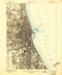
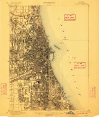
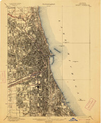
Editions of this 1901 Chicago Map
5 editions found

Other maps of this area

1889 · Chicago
USGS Topo · 1:62,500

1890 · Des Plaines
USGS Topo · 1:62,500

1891 · Chicago
USGS Topo · 1:62,500

1891 · Riverside
USGS Topo · 1:62,500

1892 · Calumet
USGS Topo · 1:62,500

1893 · Calumet
USGS Topo · 1:62,500

1893 · Riverside
USGS Topo · 1:62,500

1894 · Des Plaines
USGS Topo · 1:62,500

1899 · Evanston
USGS Topo · 1:62,500

1900 · Chicago
USGS Topo · 1:62,500