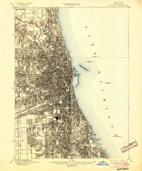
1901 Map of Chicago
USGS Topo · Published 1904About this map
Lake Michigan dominates the eastern edge of this dense urban survey, where the early industrial and social geography of the city is laid bare before the heavy lakefront infill of the later 20th century. The intricate shoreline features several Waterworks Crib L.H. structures, essential to the city's growing infrastructure. Inland, the map reveals a complex aquatic network including the North Branch Chicago River and the significant engineering feat of the Sanitary and Ship Canal alongside the older Illinois and Michigan Canal. Large managed landscapes like Rose Hill Cemetery and Graceland Cem. stand out against the tight street grid, while the southern lakefront is defined by the early layouts of Jackson Park and Windsor Park. These features, combined with the radial web of railroads like the Grand Trunk R.R. and Belt Line, illustrate a city rapidly consolidating its industrial and residential districts.
Find a feature on this map
31 named features on this map. Tap any name to fly to it.
Don’t see what you’re looking for? This feature index may not catch every label — zoom into the map to look around manually.
Map Details
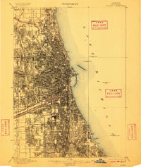
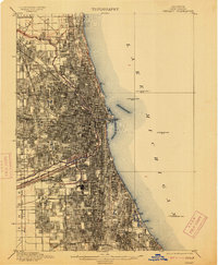
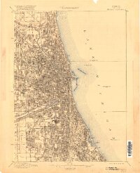
Editions of this 1901 Chicago Map
5 editions found

Other maps of this area

1889 · Chicago
USGS Topo · 1:62,500

1890 · Des Plaines
USGS Topo · 1:62,500

1891 · Chicago
USGS Topo · 1:62,500

1891 · Riverside
USGS Topo · 1:62,500

1892 · Calumet
USGS Topo · 1:62,500

1893 · Calumet
USGS Topo · 1:62,500

1893 · Riverside
USGS Topo · 1:62,500

1894 · Des Plaines
USGS Topo · 1:62,500

1899 · Evanston
USGS Topo · 1:62,500

1900 · Chicago
USGS Topo · 1:62,500