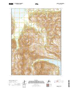
2020 Map of Chignik A-3 NE
USGS Topo · Published 2020About this map
Alaska Peninsula terrain dominates this 2020 survey, revealing a landscape defined by dramatic elevation changes and significant water systems. The northern portion of the sheet is marked by the expansive Chignik Lake, which serves as a primary geographic anchor for the region. Flowing into or near these waters are Home Cr and Metrofanis Cr, drainage patterns that illustrate the complex hydrology of this remote coastal environment. In the west, the Clark River meanders through the topography, highlighting the natural corridors that have historically shaped movement and resource access in this part of the Lake and Peninsula Borough. The map provides an essential record of the natural state of these drainage basins as they appeared in the early 21st century.
Find a feature on this map
11 named features on this map. Tap any name to fly to it.
Don’t see what you’re looking for? This feature index may not catch every label — zoom into the map to look around manually.
Map Details
Editions of this 2020 Chignik A-3 NE Map
This is the sole edition of this map. No revisions or reprints were ever made.
Other maps of this area

1963 · Chignik B-2
USGS Topo · 1:63,360

1963 · Chignik A-2
USGS Topo · 1:63,360

1963 · Chignik A-3
USGS Topo · 1:63,360

1963 · Chignik B-3
USGS Topo · 1:63,360

1963 · Chignik
USGS Topo · 1:250,000
2020 · Chignik A-3 SW
USGS Topo · 1:25,000
2020 · Chignik A-2 NW
USGS Topo · 1:25,000
2020 · Chignik A-3 NW
USGS Topo · 1:25,000
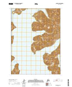
2020 · Chignik A-2 SW
USGS Topo · 1:25,000
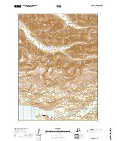
2020 · Chignik B-3 SE
USGS Topo · 1:25,000