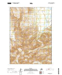
2020 Map of Chignik C-2 SW
USGS Topo · Published 2020About this map
The Aleutian Range dominates this portion of the Alaska Peninsula, where the landscape is defined by high alpine elevations and glacial drainage patterns. Waterways such as Braided Creek and Cathedral Cr carve through the terrain, demonstrating the complex hydrography of the region. The map reveals a land largely devoid of modern infrastructure, centered instead on natural landmarks like Thompson Valley and Yellow Bluff Cr. This 2020 edition provides a clear record of the watershed and topography within the Lake and Peninsula Borough, capturing the remote geography of the peninsula at a high 1:25,000 scale. The lack of roads or established settlements reflects the wilderness character of the area, making it a critical reference for understanding the physical geography of southwest Alaska's coastal ranges.
Find a feature on this map
13 named features on this map. Tap any name to fly to it.
Don’t see what you’re looking for? This feature index may not catch every label — zoom into the map to look around manually.
Map Details
Editions of this 2020 Chignik C-2 SW Map
This is the sole edition of this map. No revisions or reprints were ever made.
Other maps of this area

1963 · Chignik B-2
USGS Topo · 1:63,360

1963 · Chignik C-3
USGS Topo · 1:63,360

1963 · Chignik C-2
USGS Topo · 1:63,360

1963 · Chignik B-3
USGS Topo · 1:63,360

1963 · Chignik
USGS Topo · 1:250,000
2020 · Chignik B-2 NE
USGS Topo · 1:25,000
2020 · Chignik C-2 NE
USGS Topo · 1:25,000
2020 · Chignik B-2 NW
USGS Topo · 1:25,000
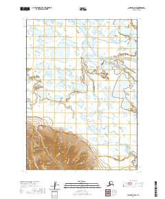
2020 · Chignik C-2 NW
USGS Topo · 1:25,000
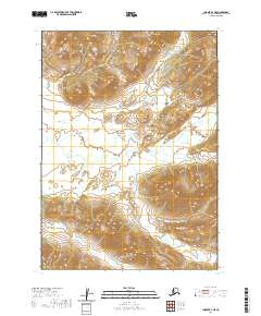
2020 · Chignik B-3 NE
USGS Topo · 1:25,000