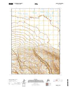
2020 Map of Chignik C-3 NE
USGS Topo · Published 2020About this map
Yellow Bluff Creek and Red Bluff Creek define the drainage of this coastal Alaskan landscape within the t40s r60w and t40s r59w townships. The terrain transitions from low-lying wetland complexes in the northern reaches to significant elevation gains in the south, where the contour lines tighten as they approach the higher ridges of the Alaska Peninsula. This 2020 record captures a remote, unpopulated wilderness where the primary topographical features are the meandering braided streams and the steepening mountain slopes. The lack of infrastructure or named settlements emphasizes the character of the Lake and Peninsula Borough as one of the most sparsely populated areas in the region, shaped almost entirely by natural watercourses like Yellow Bluff Creek.
Find a feature on this map
6 named features on this map. Tap any name to fly to it.
Don’t see what you’re looking for? This feature index may not catch every label — zoom into the map to look around manually.
Map Details
Editions of this 2020 Chignik C-3 NE Map
This is the sole edition of this map. No revisions or reprints were ever made.
Other maps of this area

1963 · Chignik C-3
USGS Topo · 1:63,360

1963 · Chignik D-3
USGS Topo · 1:63,360

1963 · Chignik C-2
USGS Topo · 1:63,360

1963 · Chignik
USGS Topo · 1:250,000

1963 · Chignik D-2
USGS Topo · 1:63,360
2020 · Chignik D-3 SW
USGS Topo · 1:25,000
2020 · Chignik C-3 SW
USGS Topo · 1:25,000
2020 · Chignik C-3 NW
USGS Topo · 1:25,000
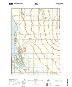
2020 · Chignik D-2 SW
USGS Topo · 1:25,000
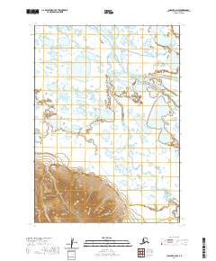
2020 · Chignik C-2 NW
USGS Topo · 1:25,000