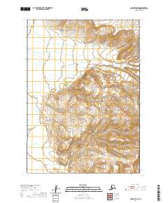
2020 Map of Chignik D-2 SE
USGS Topo · Published 2020About this map
The Aleutian Range dominates this portion of the Alaska Peninsula, a landscape defined by dramatic elevation changes and protected wilderness areas. This remote terrain is divided between the Aniakchak National Monument in the northeast and the Alaska Peninsula National Wildlife Refuge which covers the southern and western sections. The cartography reveals a highly dissected topography where the headwaters of Birthday Cr gather from the high ridges before descending toward the coast. Unlike more settled regions, the map lacks roads or permanent human settlements, emphasizing a preserved ecosystem where natural boundaries and township lines like t39s r57w are the only indicators of modern administration. It offers a clear view of the drainage patterns and peaks within these vast federal conservation units.
Find a feature on this map
10 named features on this map. Tap any name to fly to it.
Don’t see what you’re looking for? This feature index may not catch every label — zoom into the map to look around manually.
Map Details
Editions of this 2020 Chignik D-2 SE Map
This is the sole edition of this map. No revisions or reprints were ever made.
Other maps of this area

1963 · Chignik C-1
USGS Topo · 1:63,360

1963 · Chignik C-2
USGS Topo · 1:63,360

1963 · Chignik
USGS Topo · 1:250,000

1963 · Chignik D-1
USGS Topo · 1:63,360

1963 · Chignik D-2
USGS Topo · 1:63,360
2020 · Chignik C-2 NE
USGS Topo · 1:25,000
2020 · Chignik D-2 NW
USGS Topo · 1:25,000
2020 · Chignik D-1 SW
USGS Topo · 1:25,000
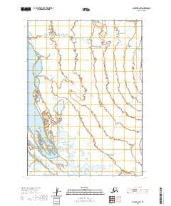
2020 · Chignik D-2 SW
USGS Topo · 1:25,000
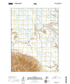
2020 · Chignik C-2 NW
USGS Topo · 1:25,000