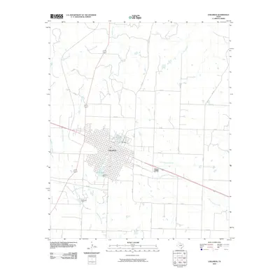
2010 Map of Childress
USGS Topo · Published 2010About this map
Childress stands as the primary hub in this Texas Panhandle landscape, its grid of streets concentrated south of the railroad line that cuts across the territory. The surrounding countryside is defined by an extensive network of farm-to-market roads and county routes, including FM 2530, FM 268, and Co RD 15, which connect the town to outlying agricultural lands and drainage basins. Water management is a visible priority for the community, seen in the pair of reservoirs on the edge of the settlement.
Find a feature on this map
30 named features on this map. Tap any name to fly to it.
Don’t see what you’re looking for? This feature index may not catch every label — zoom into the map to look around manually.
Map Details
Editions of this 2010 Childress Map
This is the sole edition of this map. No revisions or reprints were ever made.
Other maps of this area

1954 · Plainview
USGS Topo · 1:250,000

1958 · Plainview
USGS Topo · 1:250,000

1960 · Loco
USGS Topo · 1:62,500

1961 · Estelline
USGS Topo · 1:62,500

1967 · Buckle L Ranch
USGS Topo · 1:24,000

1967 · Hell Roaring Creek
USGS Topo · 1:24,000

1967 · Kirkland South
USGS Topo · 1:24,000

1967 · Kirkland North
USGS Topo · 1:24,000

1967 · Childress
USGS Topo · 1:24,000

1967 · Carey
USGS Topo · 1:24,000