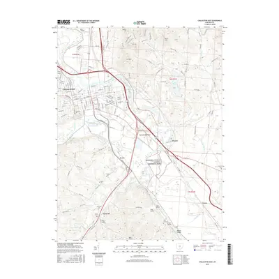
2016 Map of Chillicothe East
USGS Topo · Published 2016About this map
Hopewell Culture National Historical Park preserves Earthworks that define the prehistoric heritage of the Scioto River valley. This 2016 survey shows the eastern edge of Chillicothe, where urban street grids meet the floodplain. The landscape south of the city is marked by small settlements like Renick and Massieville, often clustered near established family burial grounds such as Findley Cem and Malone Cem.
Find a feature on this map
68 named features on this map. Tap any name to fly to it.
Don’t see what you’re looking for? This feature index may not catch every label — zoom into the map to look around manually.
Map Details
Editions of this 2016 Chillicothe East Map
This is the sole edition of this map. No revisions or reprints were ever made.
Other maps of this area

1906 · Waverly
USGS Topo · 1:62,500

1906 · Chillicothe
USGS Topo · 1:62,500

1908 · Chillicothe
USGS Topo · 1:62,500

1908 · Waverly
USGS Topo · 1:62,500

1912 · Roxabell
USGS Topo · 1:62,500

1914 · Roxabell
USGS Topo · 1:62,500

1915 · Piketon
USGS Topo · 1:62,500

1917 · Piketon
USGS Topo · 1:62,500

1944 · Piketon
USGS Topo · 1:62,500

1944 · Roxabell
USGS Topo · 1:62,500