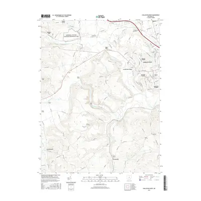
2016 Map of Chillicothe West
USGS Topo · Published 2016About this map
Hopewell Culture National Historical Park anchors the northern reaches of this Ross County landscape, preserving the ancient earthwork legacies of the Scioto River valley. The terrain is defined by the winding course of the North Fork Paint Creek and the dramatic topography of Alum Cliffs. West of the primary city center of Chillicothe, residential growth is evident in suburban expansions like Randall Terrace and Brewer Heights, while the Ohio Univ - Chillicothe Campus marks the edge of the urban corridor.
Find a feature on this map
125 named features on this map. Tap any name to fly to it.
Don’t see what you’re looking for? This feature index may not catch every label — zoom into the map to look around manually.
Map Details
Editions of this 2016 Chillicothe West Map
This is the sole edition of this map. No revisions or reprints were ever made.
Other maps of this area

1906 · Waverly
USGS Topo · 1:62,500

1906 · Chillicothe
USGS Topo · 1:62,500

1908 · Chillicothe
USGS Topo · 1:62,500

1908 · Waverly
USGS Topo · 1:62,500

1912 · Roxabell
USGS Topo · 1:62,500

1914 · Roxabell
USGS Topo · 1:62,500

1915 · Piketon
USGS Topo · 1:62,500

1917 · Piketon
USGS Topo · 1:62,500

1944 · Piketon
USGS Topo · 1:62,500

1944 · Roxabell
USGS Topo · 1:62,500