
1952 Map of China Grove
USGS Topo · Published 1953About this map
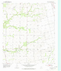
China Grove serves as the focal point of this West Texas landscape during the early 1950s, situated just north of the Scurry Co Mitchell Co line. The settlement is centered around China Grove Sch and nearby Sulphur Creek, while to the north, German Sch indicates the area's rural educational heritage. This period captures the region's ranching and emerging industrial character, evidenced by numerous Windmill markers scattered across the terrain and Oil Tanks located in the northeast section near the Roscoe Snyder and Pacific railroad line.
Find a feature on this map
11 named features on this map. Tap any name to fly to it.
Don’t see what you’re looking for? This feature index may not catch every label — zoom into the map to look around manually.
Map Details
Editions of this 1952 China Grove Map
Other maps of this area

1950 · Cedar Bend
USGS Topo · 1:24,000

1951 · Dunn
USGS Topo · 1:24,000

1952 · Snyder
USGS Topo · 1:24,000

1952 · Colorado City
USGS Topo · 1:24,000

1952 · Hermleigh
USGS Topo · 1:24,000

1954 · Big Spring
USGS Topo · 1:250,000

1958 · Big Spring
USGS Topo · 1:250,000

1969 · Inadale NW
USGS Topo · 1:24,000

1969 · Loraine
USGS Topo · 1:24,000
1969 · Inadale
USGS Topo · 1:24,000