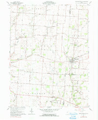
1961 Map of Christiansburg
USGS Topo · Published 1990About this map
Christiansburg stands as the primary hub in this rural landscape at the intersection of Champaign, Miami, and Clark Counties. The area is defined by its deep agricultural roots and a dense network of country roads like Old Troy Pike and Addison New Carlisle Road that link the scattered homesteads. Significant for genealogists and local historians, the map documents numerous small family and community burial grounds, including the Huddleston-Slifer Cem, Youtsey Cem, and Smith Cem.
Find a feature on this map
74 named features on this map. Tap any name to fly to it.
Don’t see what you’re looking for? This feature index may not catch every label — zoom into the map to look around manually.
Map Details
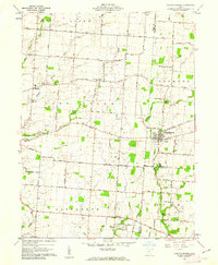
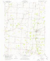
Editions of this 1961 Christiansburg Map
3 editions found
Other maps of this area

1904 · Springfield
USGS Topo · 1:62,500

1904 · Dayton
USGS Topo · 1:62,500

1906 · Dayton
USGS Topo · 1:62,500

1906 · Springfield
USGS Topo · 1:62,500

1914 · Troy
USGS Topo · 1:62,500

1914 · St. Paris
USGS Topo · 1:62,500

1916 · St. Paris
USGS Topo · 1:62,500

1944 · St. Paris
USGS Topo · 1:62,500

1944 · Troy
USGS Topo · 1:62,500

1947 · Columbus
USGS Topo · 1:250,000