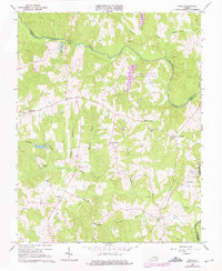
1966 Map of Chula
USGS Topo · Published 1976About this map
The Appomattox River carves a winding path through the borderlands of Amelia and Powhatan counties, anchoring a rural landscape defined by historic settlements and local congregation hubs in the mid-1960s. The community of Chula serves as a primary reference point along the Southern railroad line, which runs through the southeastern portion of the map. This era shows a transition from purely agricultural land use to include the Amelia Wildlife Management Area, preserving large tracts of terrain north of the river. Numerous local institutions such as Grub Hill Ch, Pleasant Grove Ch, and Brick Church Sch indicate the established social geography of these unincorporated areas. To the west, the Hill Top Airport and smaller hamlets like Fieldstown and Masons Corner reflect a steady patterns of residency along the network of secondary state routes and creek drainages like Flat Creek and Nibbs Creek.
Find a feature on this map
32 named features on this map. Tap any name to fly to it.
Don’t see what you’re looking for? This feature index may not catch every label — zoom into the map to look around manually.
Map Details
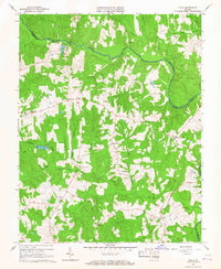
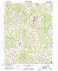
Editions of this 1966 Chula Map
3 editions found
Other maps of this area

1890 · Goochland
USGS Topo · 1:125,000

1891 · Palmyra
USGS Topo · 1:125,000

1891 · Farmville
USGS Topo · 1:125,000

1892 · Goochland
USGS Topo · 1:125,000

1893 · Farmville
USGS Topo · 1:125,000

1895 · Palmyra
USGS Topo · 1:125,000

1897 · Amelia
USGS Topo · 1:125,000

1897 · Palmyra
USGS Topo · 1:125,000

1943 · Fine Creek Mills
USGS Topo · 1:31,680

1943 · Powhatan
USGS Topo · 1:31,680