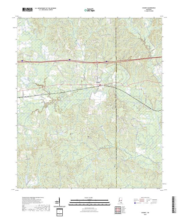
2024 Map of Chunky
USGS Topo · Published 2024About this map
Chunky sits as the central point of interest in this Newton County landscape, where the Chunky River and Chunky Creek converge. The terrain is defined by a dense network of waterways including Tallahatta Creek, Okahatta Creek, and Patterchitto Creek, reflecting the river-and-creek topography that has historically shaped the region. Interstate 20 and Highway 80 cut east-west through the center of the sheet, bridging the Newton Co Lauderdale Co line.
Find a feature on this map
57 named features on this map. Tap any name to fly to it.
Don’t see what you’re looking for? This feature index may not catch every label — zoom into the map to look around manually.
Map Details
Editions of this 2024 Chunky Map
This is the sole edition of this map. No revisions or reprints were ever made.
Other maps of this area

1953 · Meridian
USGS Topo · 1:250,000

1957 · Meridian
USGS Topo · 1:250,000

1957 · Chunky
USGS Topo · 1:62,500

1957 · Enterprise
USGS Topo · 1:62,500

1965 · Meridian
USGS Topo · 1:250,000

1966 · Hickory
USGS Topo · 1:24,000

1966 · Decatur
USGS Topo · 1:24,000

1970 · Hero
USGS Topo · 1:24,000

1982 · Meehan
USGS Topo · 1:24,000
1982 · Duffee
USGS Topo · 1:24,000