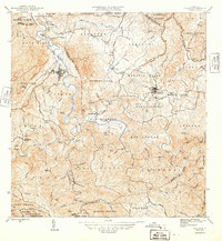
1946 Map of Ciales
USGS Topo · Published 1946About this map
Rio Grande de Manati snakes through the center of this landscape, its deep valley carving a path between the mountain barrios of central Puerto Rico. The town of Ciales is perched along the river's western bluffs, while Morovis sits to the east, connected by a network of winding mountain roads and a Linea de Transmision. This mid-century survey captures an era of agrarian settlement and community hubs, evidenced by regional landmarks like the Escuela Segunda Unidad de Pesas and numerous religious centers including Iglesia San Antonio, Iglesia Ascension, and Iglesia del Niño Jesus. Higher elevations are marked by distinctive peaks such as Cerro Purron and Cerro Avispa, while the label for Minas southeast of San Lorenzo suggests a history of resource extraction in the river valley. The map clearly delineates the complex political boundaries between municipalities like Municipio de Ciales and Municipio de Morovis.
Find a feature on this map
104 named features on this map. Tap any name to fly to it.
Don’t see what you’re looking for? This feature index may not catch every label — zoom into the map to look around manually.
Map Details
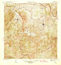
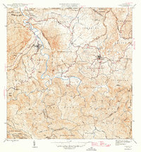
Editions of this 1946 Ciales Map
3 editions found
Other maps of this area

1937 · Aguadilla
USGS Topo · 1:20,000

1937 · Moca
USGS Topo · 1:20,000

1938 · Alto Sano
USGS Topo · 1:20,000

1938 · San Sebastian
USGS Topo · 1:20,000

1938 · Quebradillas
USGS Topo · 1:20,000

1939 · Mayaguez
USGS Topo · 1:30,000

1941 · Moca
USGS Topo · 1:30,000

1941 · Rincon
USGS Topo · 1:30,000

1941 · Rincon
USGS Topo · 1:30,000

1941 · San Sebastian
USGS Topo · 1:30,000
Featured Places
- Sector Serrano, San Sebastián
- Sector La Grúa, Añasco
- Sector Los Crespos, San Sebastián
- Sector Ramos, San Sebastián
- Sector Los Ramos, Moca