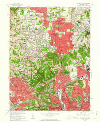
1961 Map of Cincinnati West
USGS Topo · Published 1963About this map
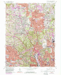
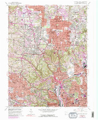
Mt Airy Forest and the Mt Airy Center dominate the central greenbelt of this Hamilton County landscape, serving as a topographic anchor between the urban expansion of Cincinnati and its growing northern suburbs. The map captures the post-war residential boom through a dense network of private subdivisions, including Northbrook, Finneytown, and Groesbeck. The transportation corridors of the Baltimore and Ohio RR and New York Central RR follow the lowlands of Mill Creek, reflecting the historic industrial and rail-dependent growth of the region. Significant institutional landmarks are scattered throughout the residential blocks, from the St Anthony Monastery to specialized centers like St Josephs Orphanage and St George Hospital. The presence of numerous parochial institutions, such as St Xavier High Sch and McAuley High Sch, highlights the deep-rooted community structure of the era.
Find a feature on this map
99 named features on this map. Tap any name to fly to it.
Don’t see what you’re looking for? This feature index may not catch every label — zoom into the map to look around manually.
Map Details
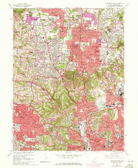
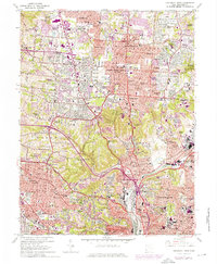
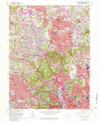
Editions of this 1961 Cincinnati West Map
6 editions found
Other maps of this area

1898 · East Cincinnati
USGS Topo · 1:62,500

1904 · Mason
USGS Topo · 1:62,500

1906 · Mason
USGS Topo · 1:62,500

1914 · East Cincinnati
USGS Topo · 1:62,500

1914 · West Cincinnati
USGS Topo · 1:62,500

1915 · Hamilton
USGS Topo · 1:62,500

1917 · Hamilton
USGS Topo · 1:62,500

1950 · Covington
USGS Topo · 1:24,000

1951 · Burlington
USGS Topo · 1:24,000

1952 · Newport
USGS Topo · 1:24,000