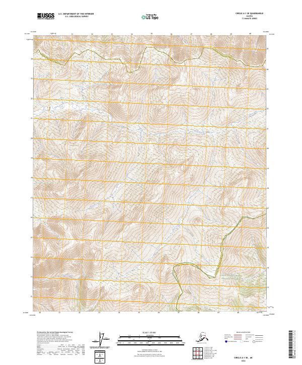
2024 Map of Circle A-1 SE
USGS Topo · Published 2024About this map
The Salcha River meanders through the high-elevation terrain of the interior, marking a landscape defined by significant federal land designations. To the north, the Steese National Conservation Area encompasses the upper reaches of the watershed, while the southeast corner of the map transitions into the Yukon-Charley Rivers National Preserve. This area serves as a critical boundary zone where the Fairbanks North Star Borough meets the Yukon-Koyukuk Census Area. The drainage network is dense with tributaries including Williams Creek, Willow Creek, and Cottonwood Creek, which carve through the ridges of the Yukon-Tanana Uplands. The mapping of these remote watercourses and township lines like t3n r18e provides essential data for understanding land management and wilderness navigation in one of the state's most protected corridor regions.
Find a feature on this map
13 named features on this map. Tap any name to fly to it.
Don’t see what you’re looking for? This feature index may not catch every label — zoom into the map to look around manually.
Map Details
Editions of this 2024 Circle A-1 SE Map
This is the sole edition of this map. No revisions or reprints were ever made.
Other maps of this area

1950 · Big Delta
USGS Topo · 1:250,000

1951 · Big Delta
USGS Topo · 1:250,000

1951 · Charley River
USGS Topo · 1:250,000

1951 · Eagle
USGS Topo · 1:250,000

1951 · Circle
USGS Topo · 1:250,000

1955 · Circle A-1
USGS Topo · 1:63,360

1955 · Circle
USGS Topo · 1:250,000

1956 · Charley River A-6
USGS Topo · 1:63,360

1956 · Charley River
USGS Topo · 1:250,000
1956 · Eagle D-6
USGS Topo · 1:63,360