
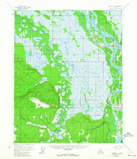
1955 Map of Circle D-1
USGS Topo · Published 1959About this map
Circle occupies the eastern edge of this mid-century survey, situated at the terminus of the Steese Highway along the banks of the mighty Yukon River. The settlement serves as a critical node in a landscape dominated by the complex, meandering hydrologic system of Birch Creek, which snakes through vast wetlands to the west. This 1955 field-annotated map provides significant detail for genealogists and local historians, noting the local Cem and the Airstrip that connected this river town to the broader Alaskan interior. The terrain transitions from the low-lying river flats toward higher elevations marked by survey points like VABM 981 Birchy and VABM Bobill 593, while Sixmile Creek and Big Creek drain the western uplands, illustrating the seasonal water patterns that defined life and transportation in this subarctic region before further modern development.
Find a feature on this map
16 named features on this map. Tap any name to fly to it.
Don’t see what you’re looking for? This feature index may not catch every label — zoom into the map to look around manually.
Map Details
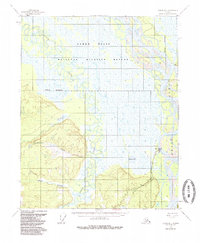
Editions of this 1955 Circle D-1 Map
3 editions found
Other maps of this area

1951 · Fort Yukon
USGS Topo · 1:250,000

1951 · Charley River
USGS Topo · 1:250,000

1951 · Black River
USGS Topo · 1:250,000

1951 · Circle
USGS Topo · 1:250,000

1952 · Circle D-2
USGS Topo · 1:63,360

1955 · Circle C-2
USGS Topo · 1:63,360

1955 · Circle C-1
USGS Topo · 1:63,360

1955 · Circle
USGS Topo · 1:250,000

1956 · Fort Yukon A-2
USGS Topo · 1:63,360

1956 · Fort Yukon A-1
USGS Topo · 1:63,360