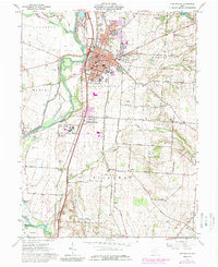
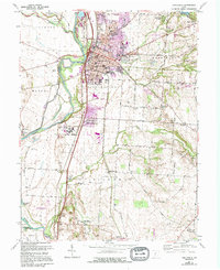
1961 Map of Circleville
USGS Topo · Published 1989About this map
The Scioto River and Big Darby Creek converge just west of Circleville, a central Ohio hub defined by its historical intersections of rail and water. This mid-century survey documents the transition of the landscape as urban expansion moves south toward Jefferson Estates and Hayesville. The industrial and agricultural heritage of the region is evident in the numerous family-named farms like Shortridge Farm and Young Farm, alongside essential local infrastructure such as the Thomas Airfield and the County Fairgrounds.
Find a feature on this map
77 named features on this map. Tap any name to fly to it.
Don’t see what you’re looking for? This feature index may not catch every label — zoom into the map to look around manually.
Map Details
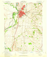
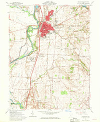
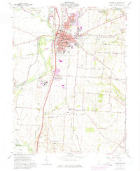
Editions of this 1961 Circleville Map
5 editions found
Other maps of this area

1906 · Chillicothe
USGS Topo · 1:62,500

1908 · Chillicothe
USGS Topo · 1:62,500

1911 · Era
USGS Topo · 1:62,500

1912 · Roxabell
USGS Topo · 1:62,500

1913 · Era
USGS Topo · 1:62,500

1914 · Roxabell
USGS Topo · 1:62,500

1914 · Circleville
USGS Topo · 1:62,500

1943 · Era
USGS Topo · 1:62,500

1943 · Circleville
USGS Topo · 1:62,500

1944 · Roxabell
USGS Topo · 1:62,500
Featured Places
- Circleville, OH
- Wayne Township, OH
- Eastmoor Subdivision, Circleville
- Washington Township, OH
- Circleville Township, OH