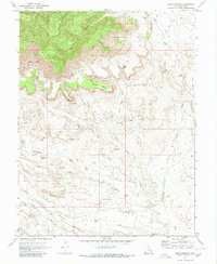
1970 Map of Cisco Springs
USGS Topo · Published 1980About this map
Book Cliffs dominate the northern horizon of this landscape, creating a dramatic geological transition into the lower basins. Below these heights, the terrain is defined by a network of drainage systems like Cisco Wash and Nash Wash, which cut through the high desert floor. The map records several localized watering points and catchments essential to this arid environment, including the curiously named Strychnine Pond, Dead Sheep Pond, and the central Cisco Springs.
Find a feature on this map
24 named features on this map. Tap any name to fly to it.
Don’t see what you’re looking for? This feature index may not catch every label — zoom into the map to look around manually.
Map Details
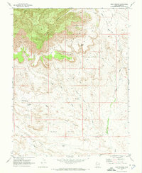
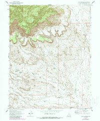
Editions of this 1970 Cisco Springs Map
3 editions found
Other maps of this area

1885 · East Tavaputs
USGS Topo · 1:250,000

1885 · La Sal
USGS Topo · 1:250,000

1956 · Moab
USGS Topo · 1:250,000

1956 · Grand Junction
USGS Topo · 1:250,000

1958 · Thompson
USGS Topo · 1:62,500

1958 · Cisco
USGS Topo · 1:62,500

1959 · Grand Junction
USGS Topo · 1:250,000

1959 · Moab
USGS Topo · 1:250,000

1960 · Moab
USGS Topo · 1:250,000

1960 · Grand Junction
USGS Topo · 1:250,000