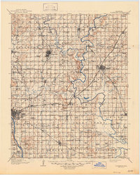
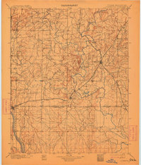
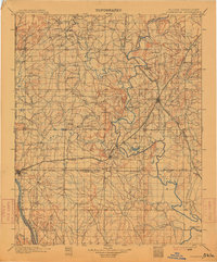
1901 Map of Claremore
USGS Topo · Published 1901About this map
The Cherokee Nation and Osage Nation meet in this turn-of-the-century survey, which reveals a landscape defined by tribal boundaries and the emerging rail networks of the Indian Territory. The Verdigris River snakes through the center of the sheet, where travelers utilized the Island Ferry near Sageeyah. Transportation was rapidly evolving as the St. Louis and San Francisco and the Kansas and Arkansas Valley railroads intersected at Claremore. To the southwest, a burgeoning Tulsa sits near the banks of the Arkansas River along the Boundary Line of the Creek Nation. This era represents a significant transition from tribal sovereignty toward statehood, captured through the locations of early settlements like Catoosa, Dawson, and Hillside, alongside prominent physical landmarks like Claremore Mound and Lipe Mound.
Find a feature on this map
74 named features on this map. Tap any name to fly to it.
Don’t see what you’re looking for? This feature index may not catch every label — zoom into the map to look around manually.
Map Details
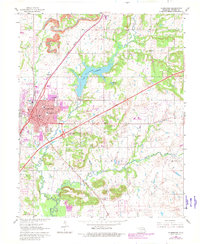
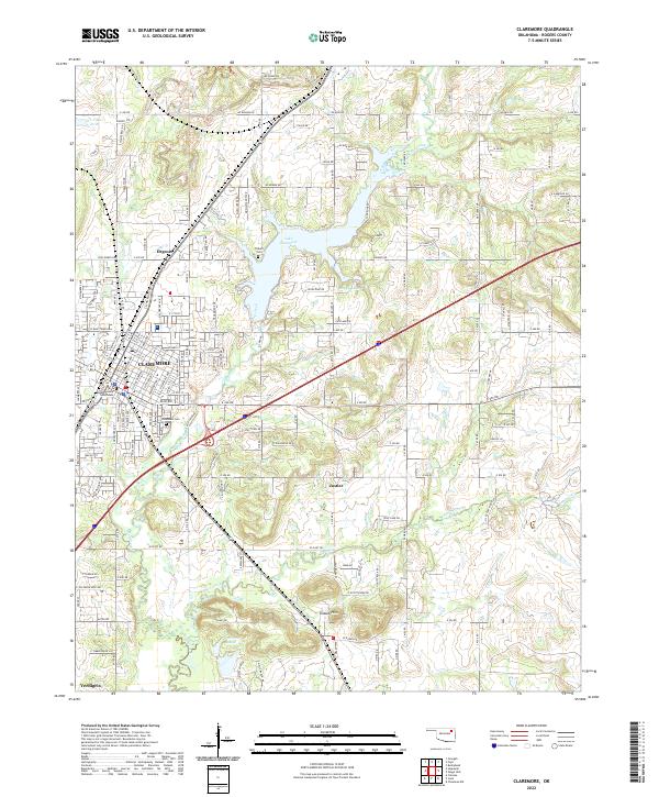
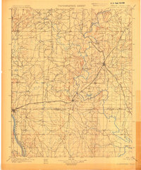
Editions of this 1901 Claremore Map
4 editions found
Historical Maps of Samson Plaza Through Time
5 maps found