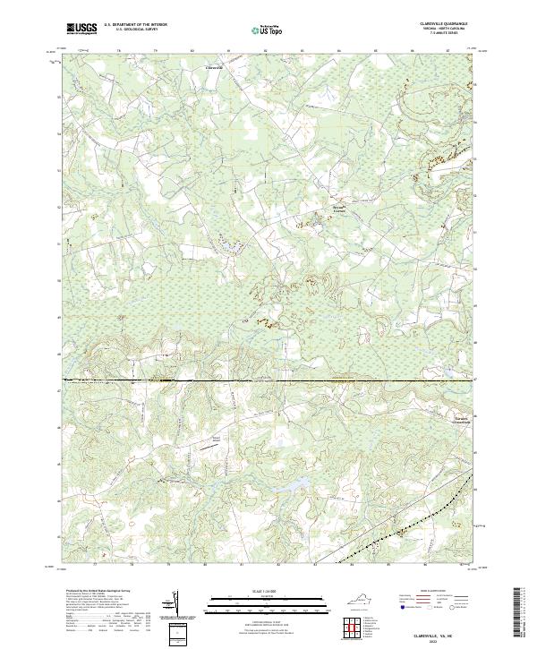
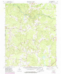
2022 Map of Claresville
USGS Topo · Published 2022About this map
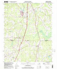
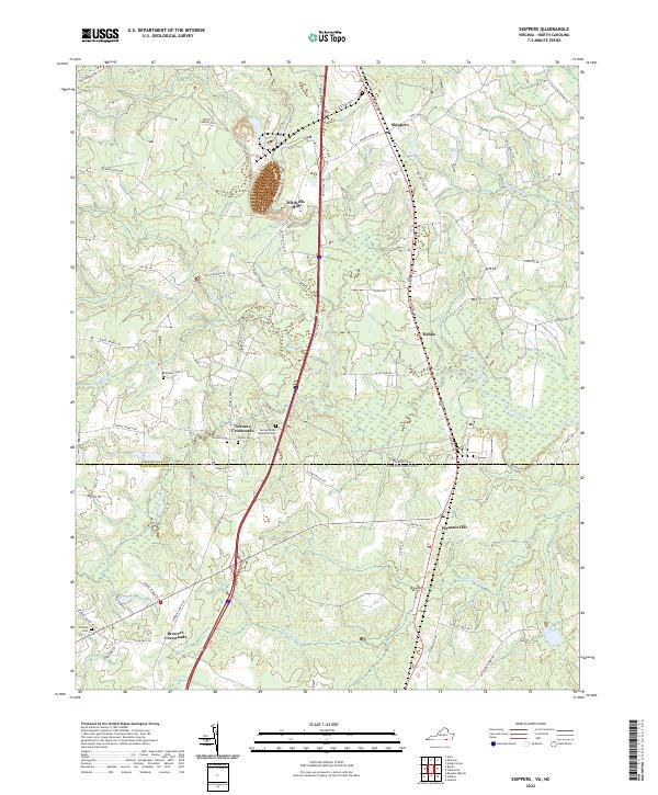
Fountains Creek meanders through the heart of this landscape, marking the natural drainage patterns across the Virginia and North Carolina border. The area is defined by its extensive swamp systems, including Mill Swamp, Caney Swamp, and Rocks Swamp, which historically dictated the placement of roads and small agricultural settlements. Small crossroads communities like Claresville, Bryants Corner, and Turners Crossroads serve as local landmarks in an area dominated by rural road networks. Many of these thoroughfares, such as Taylors Mill Rd and Drewett Store Rd, suggest a history of localized commerce and milling operations. Near the center of the sheet, Glover Airport stands as a notable modern landmark amidst the predominantly water-and-timber-rich terrain of Greensville Co and Northampton Co.
Find a feature on this map
42 named features on this map. Tap any name to fly to it.
Don’t see what you’re looking for? This feature index may not catch every label — zoom into the map to look around manually.
Map Details
Editions of this 2022 Claresville Map
This is the sole edition of this map. No revisions or reprints were ever made.
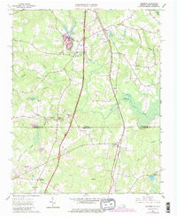
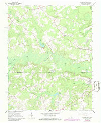
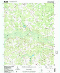
Historical Maps of Turners Crossroads Through Time
14 maps found
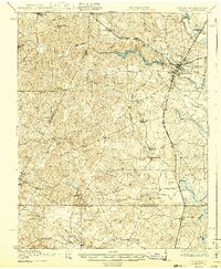
1919 Emporia
Greensville County, VA

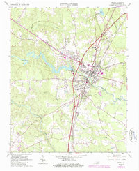
1942 Emporia
Greensville County, VA
1963 Barley
Greensville County, VA
1963 Emporia
Greensville County, VA
1963 Purdy
Greensville County, VA
1963 Skippers
Greensville County, VA
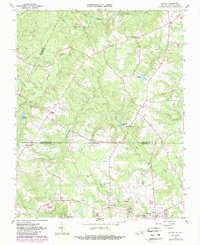
1966 Claresville
Greensville County, VA
1997 Claresville
Greensville County, VA
1997 Skippers
Greensville County, VA
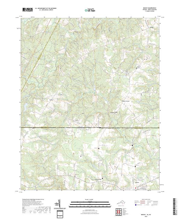
2022 Barley
Greensville County, VA
2022 Claresville
Greensville County, VA
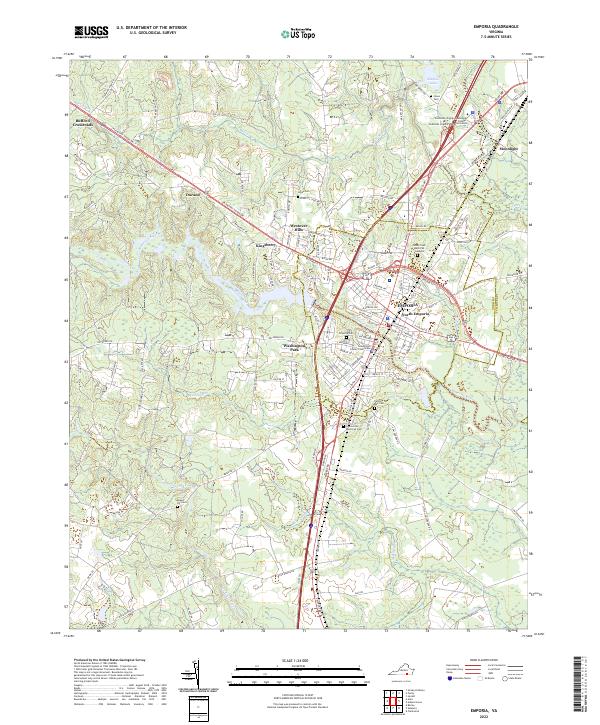
2022 Emporia
Greensville County, VA
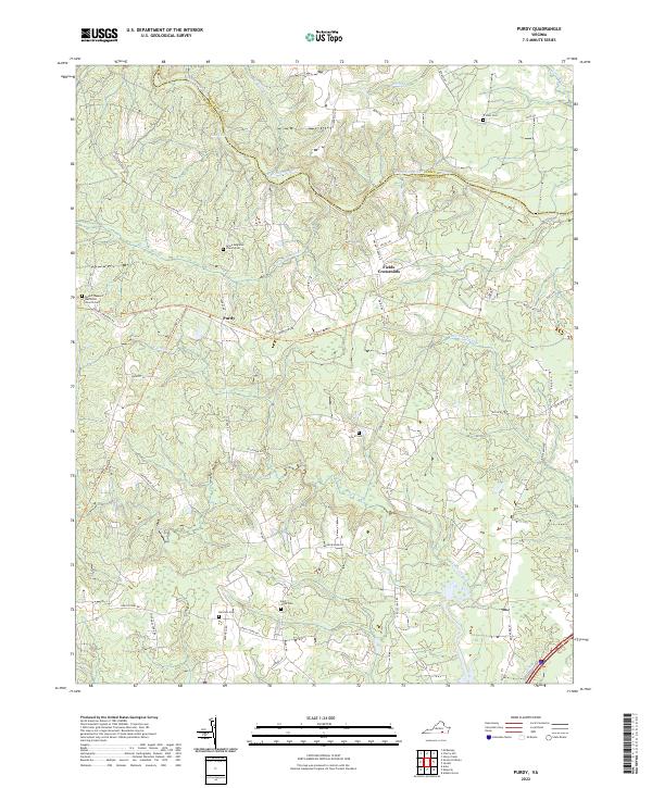
2022 Purdy
Greensville County, VA
2022 Skippers
Greensville County, VA