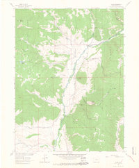
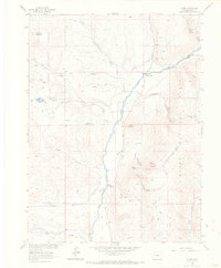
1962 Map of Clark
USGS Topo · Published 1964About this map
Elk River flows through the heart of this Routt County landscape, where early 1960s settlement is anchored by the small communities of Clark and Glen Eden. This valley-based economy is supported by a network of irrigation works including Murphy DITCH and Frantz Ditch, which parallel the river to support local agriculture. Higher elevations within the Routt National Forest show evidence of historic extraction at the Greenville Mine near Greenville Creek, while several jeep trails and pack trails navigate the steep slopes of McAlpin Mountain and Mount Candy. For local history researchers, the map identifies the Moon Hill Sch and the Moon Hill Bridge, providing specific locations for rural civic life and early river crossings. The terrain is marked by numerous family-named gulches and peaks, such as Taylor Creek and McPhee Creek, which drain the surrounding ridges into the central river basin.
Find a feature on this map
42 named features on this map. Tap any name to fly to it.
Don’t see what you’re looking for? This feature index may not catch every label — zoom into the map to look around manually.
Map Details
Editions of this 1962 Clark Map
5 editions found
Other maps of this area

1911 · Hahns Peak
USGS Topo · 1:125,000

1913 · Hahns Peak
USGS Topo · 1:125,000

1923 · Pilot Knob
USGS Topo · 1:62,500

1925 · Pilot Knob
USGS Topo · 1:62,500

1954 · Craig
USGS Topo · 1:250,000

1957 · Craig
USGS Topo · 1:250,000

1958 · Craig
USGS Topo · 1:250,000

1960 · Craig
USGS Topo · 1:250,000

1962 · Craig
USGS Topo · 1:250,000
1962 · Rocky Peak
USGS Topo · 1:24,000