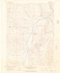
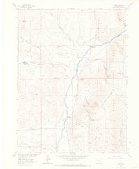
1962 Map of Clark
USGS Topo · Published 1964About this map
The Elk River defines the geography of this 1962 survey, winding past the small settlements of Glen Eden and Clark. This mountain landscape, largely protected by the Routt National Forest, reveals a history of resource extraction and rugged access, most notably at the Greenville Mine and a Quarry located near the riverbank. Transport through the area is dominated by an intricate network of specialized paths, including the Greenville Road, several named Pack Trail segments, and numerous Jeep Trail routes that climb toward peaks like Mc Alpin Mountain and Mount Pau. The presence of small, isolated landmarks like Moon Hill and the Pond Lily Lakes suggests a remote community character where life was closely tied to the topography of the many gulches and creeks feeding into the main river valley.
Find a feature on this map
30 named features on this map. Tap any name to fly to it.
Don’t see what you’re looking for? This feature index may not catch every label — zoom into the map to look around manually.
Map Details
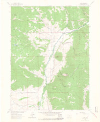
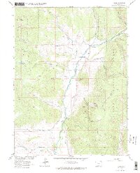
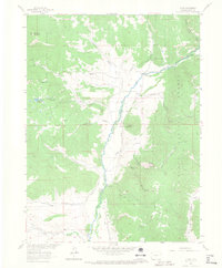
Editions of this 1962 Clark Map
5 editions found
Other maps of this area

1911 · Hahns Peak
USGS Topo · 1:125,000

1913 · Hahns Peak
USGS Topo · 1:125,000

1923 · Pilot Knob
USGS Topo · 1:62,500

1925 · Pilot Knob
USGS Topo · 1:62,500

1954 · Craig
USGS Topo · 1:250,000

1957 · Craig
USGS Topo · 1:250,000

1958 · Craig
USGS Topo · 1:250,000

1960 · Craig
USGS Topo · 1:250,000

1962 · Craig
USGS Topo · 1:250,000
1962 · Rocky Peak
USGS Topo · 1:24,000