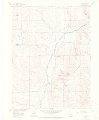
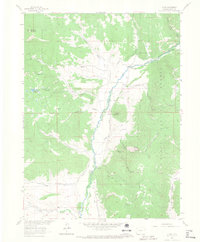
1962 Map of Clark
USGS Topo · Published 1968About this map
The Elk River valley serves as the primary corridor for settlement and industry in this 1962 survey of the Colorado high country. The small communities of Clark and Glen Eden are established along the riverbanks, supported by an economy of natural resource extraction as evidenced by a Sawmill near Cottonwood Gulch and a Quarry near the river bend. Within the surrounding Routt National Forest, the landscape is defined by complex drainage systems like Dutch Gulch and Franz Creek, while the Greenville Mine sits tucked away on a mountain ridge. Human passage through the steep terrain is marked by the Moon Hill Bridge and the winding Greenville Road, alongside a network of pack trails and jeep tracks that connect high-elevation features such as Mc Alpin Mountain and the high-altitude Pond Lily Lakes.
Find a feature on this map
35 named features on this map. Tap any name to fly to it.
Don’t see what you’re looking for? This feature index may not catch every label — zoom into the map to look around manually.
Map Details
Editions of this 1962 Clark Map
5 editions found
Other maps of this area

1911 · Hahns Peak
USGS Topo · 1:125,000

1913 · Hahns Peak
USGS Topo · 1:125,000

1923 · Pilot Knob
USGS Topo · 1:62,500

1925 · Pilot Knob
USGS Topo · 1:62,500

1954 · Craig
USGS Topo · 1:250,000

1957 · Craig
USGS Topo · 1:250,000

1958 · Craig
USGS Topo · 1:250,000

1960 · Craig
USGS Topo · 1:250,000

1962 · Craig
USGS Topo · 1:250,000
1962 · Rocky Peak
USGS Topo · 1:24,000