
1952 Map of Clay Basin
USGS Topo · Published 1954About this map
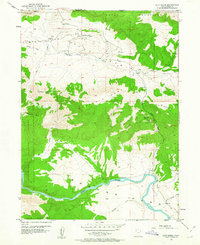
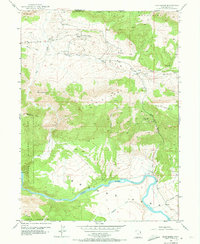
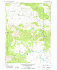
Clay Basin Camp sits at the heart of a high-desert industrial landscape where the energy economy meets the rugged borders of the Ashley National Forest. This 1952 field-checked survey reveals an active gas field, with numerous Gas Wells and Prospects dotting the terrain between the Teepee Mountains and Home Mountain. The geography is defined by sharp elevation shifts, from the prominent Bender Mountain down to the wide valley of Browns Park. Flowing through the southern portion of the quadrangle, the Green River carves a path through the landscape, joined by seasonal drainages like Whisky Springs Draw and Tolivers Creek. This era of mapping documents the intersection of natural resource extraction and public land management along the Wyoming-Utah state line.
Find a feature on this map
23 named features on this map. Tap any name to fly to it.
Don’t see what you’re looking for? This feature index may not catch every label — zoom into the map to look around manually.
Map Details
Editions of this 1952 Clay Basin Map
4 editions found
Other maps of this area

1885 · Ashley
USGS Topo · 1:250,000

1952 · Warren Draw
USGS Topo · 1:24,000

1952 · Willow Creek Butte
USGS Topo · 1:24,000

1952 · Swallow Canyon
USGS Topo · 1:24,000

1952 · Goslin Mtn
USGS Topo · 1:24,000

1954 · Vernal
USGS Topo · 1:250,000

1954 · Rock Springs
USGS Topo · 1:250,000

1957 · Currant Creek Ranch
USGS Topo · 1:62,500

1958 · Vernal
USGS Topo · 1:250,000

1958 · Rock Springs
USGS Topo · 1:250,000