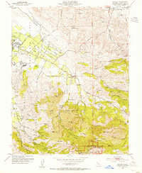
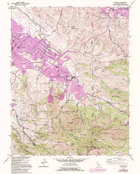
1953 Map of Clayton
USGS Topo · Published 1955About this map
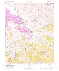
Mount Diablo and its surrounding peaks dominate this mid-century survey of Contra Costa County, showing the transition from the rugged highlands of the State Game Refuge to the developing plains of Clayton Valley. The historic town of Clayton serves as a central hub, while the ghost of the coal mining era is preserved at Nortonville (Site) in the northeast. This landscape reflects a mix of preservation and early post-war expansion, with landmarks like Muir Camp and Laurel Dell Camp marking the recreational use of Mt Diablo State Park.
Find a feature on this map
77 named features on this map. Tap any name to fly to it.
Don’t see what you’re looking for? This feature index may not catch every label — zoom into the map to look around manually.
Map Details
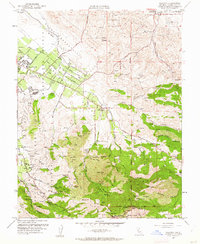
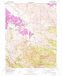
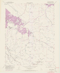
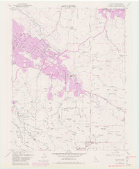
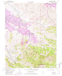
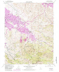
Editions of this 1953 Clayton Map
9 editions found
Other maps of this area

1896 · Carquinez Strait
USGS Topo · 1:62,500

1896 · Mt. Diablo
USGS Topo · 1:62,500

1897 · Concord
USGS Topo · 1:62,500

1898 · Karquines
USGS Topo · 1:62,500

1898 · Mt. Diablo
USGS Topo · 1:62,500

1901 · Karquines
USGS Topo · 1:62,500

1902 · Napa
USGS Topo · 1:125,000

1907 · Antioch
USGS Topo · 1:62,500

1908 · Antioch
USGS Topo · 1:62,500

1915 · Concord
USGS Topo · 1:62,500