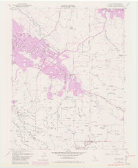
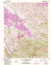
1953 Map of Clayton
USGS Topo · Published 1981About this map
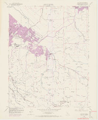
Mount Diablo dominates the southern landscape of this Contra Costa County survey, its summit featuring a Radio Tower and Observation Tower near the Devils Pulpit. To the north, the sprawling residential growth of Clayton and Cowell is clearly visible in the 1980 purple revisions, contrasting with the more rural character of the early 1950s. The map documents the northern edge of the Mt Diablo State Park and the neighboring State Game Refuge, which provide a natural buffer against the advancing suburban footprint. Industrial and utility infrastructure is evident in the Contra Costa Canal and the northern Military Res. Genealogists and local historians can locate the Nortonville (Site) in the east, along with schools like Clayton Valley High Sch and the Live Oak Cem, preserving the footprints of older communities within the modernizing landscape.
Find a feature on this map
69 named features on this map. Tap any name to fly to it.
Don’t see what you’re looking for? This feature index may not catch every label — zoom into the map to look around manually.
Map Details
Editions of this 1953 Clayton Map
9 editions found
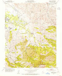
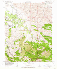
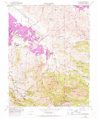
Other maps of this area

1896 · Carquinez Strait
USGS Topo · 1:62,500

1896 · Mt. Diablo
USGS Topo · 1:62,500

1897 · Concord
USGS Topo · 1:62,500

1898 · Karquines
USGS Topo · 1:62,500

1898 · Mt. Diablo
USGS Topo · 1:62,500

1901 · Karquines
USGS Topo · 1:62,500

1902 · Napa
USGS Topo · 1:125,000

1907 · Antioch
USGS Topo · 1:62,500

1908 · Antioch
USGS Topo · 1:62,500

1915 · Concord
USGS Topo · 1:62,500