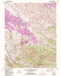
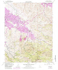
1953 Map of Clayton
USGS Topo · Published 1994About this map
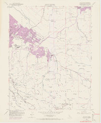
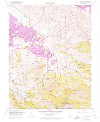
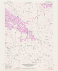
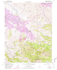
The dramatic rise of Mount Diablo dominates this mid-century survey, showcasing the sharp contrast between the expanding suburbs of Concord and the protected wilderness of Mount Diablo State Park. In the valleys below the peaks, the residential footprint of Clayton and Cowell is clearly delineated, showing the early stages of post-war development encroaching on the region's agricultural and industrial roots. Notable landmarks include the sprawling Concord Naval Weapons Station to the north and the historic Nortonville (Site) on the eastern slopes, a reminder of the area's coal mining heritage.
Find a feature on this map
75 named features on this map. Tap any name to fly to it.
Don’t see what you’re looking for? This feature index may not catch every label — zoom into the map to look around manually.
Map Details
Editions of this 1953 Clayton Map
9 editions found
Other maps of this area

1896 · Carquinez Strait
USGS Topo · 1:62,500

1896 · Mt. Diablo
USGS Topo · 1:62,500

1897 · Concord
USGS Topo · 1:62,500

1898 · Karquines
USGS Topo · 1:62,500

1898 · Mt. Diablo
USGS Topo · 1:62,500

1901 · Karquines
USGS Topo · 1:62,500

1902 · Napa
USGS Topo · 1:125,000

1907 · Antioch
USGS Topo · 1:62,500

1908 · Antioch
USGS Topo · 1:62,500

1915 · Concord
USGS Topo · 1:62,500