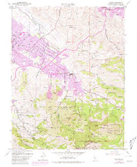
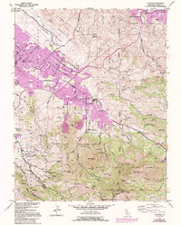
1953 Map of Clayton
USGS Topo · Published 1981About this map
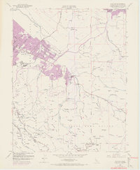
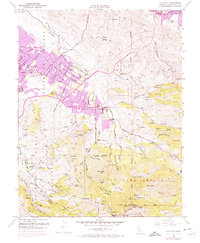
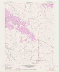
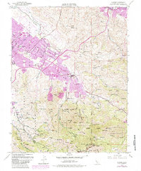
Mount Diablo dominates the southern landscape of this Contra Costa County region, standing as a primary landmark above the expanding residential corridors of Clayton and Cowell. The map illustrates a period of significant suburban growth, particularly evident in the purple-tinted urban extensions near Clayton Valley High Sch and the Highlands neighborhood. While modern development presses from the west, the eastern and northern reaches maintain their industrial and military character, defined by the Naval Weapons Station Concord and the historical Nortonville townsite.
Find a feature on this map
97 named features on this map. Tap any name to fly to it.
Don’t see what you’re looking for? This feature index may not catch every label — zoom into the map to look around manually.
Map Details
Editions of this 1953 Clayton Map
9 editions found
Other maps of this area

1896 · Carquinez Strait
USGS Topo · 1:62,500

1896 · Mt. Diablo
USGS Topo · 1:62,500

1897 · Concord
USGS Topo · 1:62,500

1898 · Karquines
USGS Topo · 1:62,500

1898 · Mt. Diablo
USGS Topo · 1:62,500

1901 · Karquines
USGS Topo · 1:62,500

1902 · Napa
USGS Topo · 1:125,000

1907 · Antioch
USGS Topo · 1:62,500

1908 · Antioch
USGS Topo · 1:62,500

1915 · Concord
USGS Topo · 1:62,500