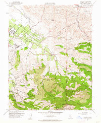
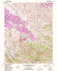
1953 Map of Clayton
USGS Topo · Published 1962About this map
The northern slopes of the Mount Diablo massif dominate this landscape, where early 1950s ranching and mining terrain met the growing footprint of Clayton. The map documents a transition from the industrial activity at the Quarry near Cowell and the Mt Diablo Mine to the protected expanse of Mt Diablo State Park. High-altitude landmarks like the Mt Diablo Observation Tower, North Peak, and Eagle Peak provide a clear view of the complex drainage system, including Donner Creek and Marsh Creek, that carves through the foothills.
Find a feature on this map
69 named features on this map. Tap any name to fly to it.
Don’t see what you’re looking for? This feature index may not catch every label — zoom into the map to look around manually.
Map Details
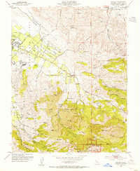
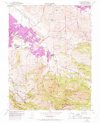
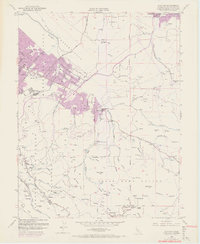
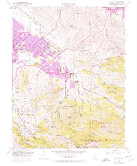
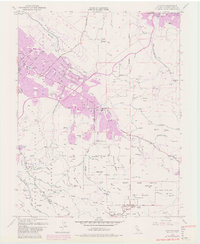
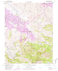
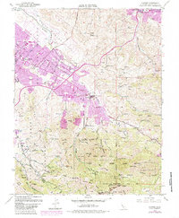
Editions of this 1953 Clayton Map
9 editions found
Other maps of this area

1896 · Carquinez Strait
USGS Topo · 1:62,500

1896 · Mt. Diablo
USGS Topo · 1:62,500

1897 · Concord
USGS Topo · 1:62,500

1898 · Karquines
USGS Topo · 1:62,500

1898 · Mt. Diablo
USGS Topo · 1:62,500

1901 · Karquines
USGS Topo · 1:62,500

1902 · Napa
USGS Topo · 1:125,000

1907 · Antioch
USGS Topo · 1:62,500

1908 · Antioch
USGS Topo · 1:62,500

1915 · Concord
USGS Topo · 1:62,500