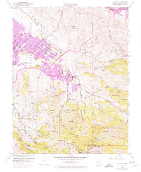
1953 Map of Clayton
USGS Topo · Published 1975About this map
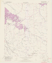
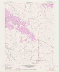
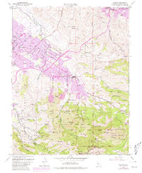
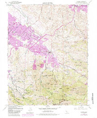
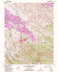
The slopes of Mount Diablo dominate this 1953 survey, which captures a landscape transitioning from ranching and mining to suburban expansion. The community of Clayton serves as a central hub, while the presence of the Concord Naval Reservation and Camp Stoneman to the north reflects the era's significant military footprint. In the hills to the east, the Nortonville (Site) and the Mt Diablo Mine mark the remnants of the region's earlier industrial history.
Find a feature on this map
79 named features on this map. Tap any name to fly to it.
Don’t see what you’re looking for? This feature index may not catch every label — zoom into the map to look around manually.
Map Details
Editions of this 1953 Clayton Map
9 editions found
Other maps of this area

1896 · Carquinez Strait
USGS Topo · 1:62,500

1896 · Mt. Diablo
USGS Topo · 1:62,500

1897 · Concord
USGS Topo · 1:62,500

1898 · Karquines
USGS Topo · 1:62,500

1898 · Mt. Diablo
USGS Topo · 1:62,500

1901 · Karquines
USGS Topo · 1:62,500

1902 · Napa
USGS Topo · 1:125,000

1907 · Antioch
USGS Topo · 1:62,500

1908 · Antioch
USGS Topo · 1:62,500

1915 · Concord
USGS Topo · 1:62,500