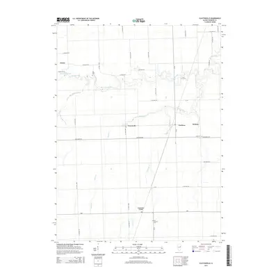
2015 Map of Claytonville
USGS Topo · Published 2015About this map
Claytonville and Goodwine serve as central nodes in this rural Iroquois County landscape, where the agricultural grid is deeply carved by a winding network of prairie streams. The path of Fountain Cr and its tributaries, including Pigeon Creek and the curiously named Whisky Cr, disrupt the straight lines of the township roads, creating pockets of varied terrain. These waterways likely influenced the placement of early settlements and rural cemeteries, which remain key landmarks for local history.
Find a feature on this map
41 named features on this map. Tap any name to fly to it.
Don’t see what you’re looking for? This feature index may not catch every label — zoom into the map to look around manually.
Map Details
Editions of this 2015 Claytonville Map
This is the sole edition of this map. No revisions or reprints were ever made.
Other maps of this area

1933 · Hoopeston
USGS Topo · 1:48,000

1936 · Potomac
USGS Topo · 1:62,500

1938 · Milford
USGS Topo · 1:48,000

1938 · Hoopeston
USGS Topo · 1:62,500

1939 · Cissna Park
USGS Topo · 1:62,500

1944 · Milford
USGS Topo · 1:62,500

1949 · Cissna Park
USGS Topo · 1:62,500

1953 · Danville
USGS Topo · 1:250,000

1955 · Danville
USGS Topo · 1:250,000

1956 · Danville
USGS Topo · 1:250,000