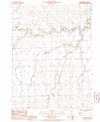
1986 Map of Claytonville
USGS Topo · Published 1986About this map
Claytonville and the surrounding agricultural townships of Ash Grove, Milford, Fountain Creek, and Lovejoy appear in this mid-1980s provisional survey. The landscape is defined by the winding paths of several waterways, including the meandering Mud Creek and the small Miller Spring Lake. Settlement is concentrated in small unincorporated clusters like Goodwine, Pitchin, and Hickman, which are linked by a grid of rural roads and an old railroad grade that reflects the area's transportation history.
Find a feature on this map
22 named features on this map. Tap any name to fly to it.
Don’t see what you’re looking for? This feature index may not catch every label — zoom into the map to look around manually.
Map Details
Editions of this 1986 Claytonville Map
This is the sole edition of this map. No revisions or reprints were ever made.
Other maps of this area

1933 · Hoopeston
USGS Topo · 1:48,000

1936 · Potomac
USGS Topo · 1:62,500

1938 · Milford
USGS Topo · 1:48,000

1938 · Hoopeston
USGS Topo · 1:62,500

1939 · Cissna Park
USGS Topo · 1:62,500

1944 · Milford
USGS Topo · 1:62,500

1949 · Cissna Park
USGS Topo · 1:62,500

1953 · Danville
USGS Topo · 1:250,000

1955 · Danville
USGS Topo · 1:250,000

1956 · Danville
USGS Topo · 1:250,000