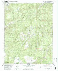
1980 Map of Clear Creek Mountain
USGS Topo · Published 1980About this map
Zion National Park extends its northern boundary into this rugged portion of Kane County, where the North Fork Virgin River cuts through the northwest corner. This 1980 record illustrates a landscape defined by dramatic elevation changes, from the heights of Clear Creek Mountain and the expansive Table Bench down into complex drainages like Orderville Gulch and Trough Hollow. Evidence of resource extraction is scattered throughout the terrain, including several Mines and a Gravel Pit in the southern reaches. Numerous water sources such as Big Spring and various Springs supported the area's movement, connected by a network of primitive Jeep Trails. The presence of Co-op Creek and Waterpocket Creek further highlights the hydraulic geography that shaped local access in this part of Southern Utah.
Find a feature on this map
26 named features on this map. Tap any name to fly to it.
Don’t see what you’re looking for? This feature index may not catch every label — zoom into the map to look around manually.
Map Details
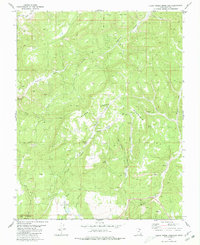
Editions of this 1980 Clear Creek Mountain Map
2 editions found
Other maps of this area

1886 · Kanab
USGS Topo · 1:250,000

1953 · Cedar City
USGS Topo · 1:250,000

1954 · Orderville Canyon NW
USGS Topo · 1:24,000

1954 · Orderville Canyon SE
USGS Topo · 1:24,000

1956 · Springdale NE
USGS Topo · 1:24,000

1957 · Orderville Canyon NE
USGS Topo · 1:24,000

1957 · Kanab
USGS Topo · 1:62,500

1958 · Cedar City
USGS Topo · 1:250,000

1958 · Orderville
USGS Topo · 1:62,500

1962 · Cedar City
USGS Topo · 1:250,000