
1958 Map of Clearlake Oaks
USGS Topo · Published 1961About this map
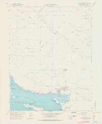
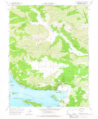
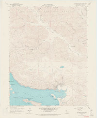
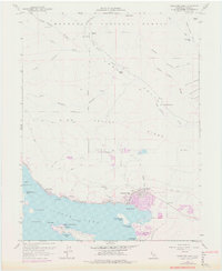
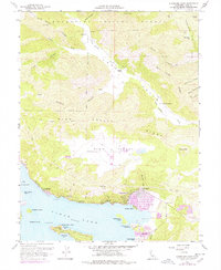
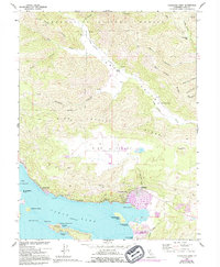
The northeastern shores of Clear Lake dominate this mid-century survey, revealing a landscape defined by both recreational shoreline and deep-seated geological industry. In the southern reach, the Sulphur Bank Mine sits adjacent to the Sulphur Bank Rancheria, marking a site of significant geothermal and mineral interest near Sulphur Bank Point. The township of Clearlake Oaks serves as the primary hub, where Schindler Creek meets the lake near Stubbs Island. To the north, the terrain climbs sharply into the Mendocino National Forest and across the High Valley Ridge. This transition from the developed waterfront at Glenhaven to the isolated cattle operations at Garner Ranch and Kennedy Ranch in Long Valley illustrates the region's historical dual identity as a destination for vacationers at Paradise Cove and a working landscape for ranchers and miners.
Find a feature on this map
54 named features on this map. Tap any name to fly to it.
Don’t see what you’re looking for? This feature index may not catch every label — zoom into the map to look around manually.
Map Details
Editions of this 1958 Clearlake Oaks Map
7 editions found
Other maps of this area

1921 · Kelseyville
USGS Topo · 1:62,500

1924 · Bartlett Springs
USGS Topo · 1:62,500

1938 · Lakeport
USGS Topo · 1:62,500

1942 · Bartlett Springs
USGS Topo · 1:62,500

1943 · Kelseyville
USGS Topo · 1:62,500

1944 · Bartlett Springs
USGS Topo · 1:62,500

1945 · Lower Lake
USGS Topo · 1:62,500

1947 · Santa Rosa
USGS Topo · 1:250,000

1949 · Santa Rosa
USGS Topo · 1:250,000

1951 · Lakeport
USGS Topo · 1:62,500