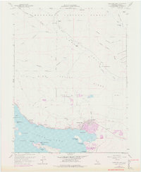
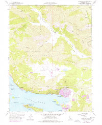
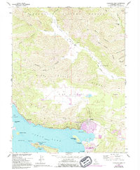
1958 Map of Clearlake Oaks
USGS Topo · Published 1978About this map
The northeastern shoreline of Clear Lake anchors this 1958 survey, showing the lakeside communities of Clearlake Oaks and Glenhaven as they developed in the mid-20th century. The map documents a diverse mix of land uses, from the residential blocks and a substation at the Oaks to the industrial footprint of the Sulphur Bank Mine and the Sulphur Bank Rancheria.
Find a feature on this map
62 named features on this map. Tap any name to fly to it.
Don’t see what you’re looking for? This feature index may not catch every label — zoom into the map to look around manually.
Map Details
Editions of this 1958 Clearlake Oaks Map
7 editions found

Other maps of this area

1921 · Kelseyville
USGS Topo · 1:62,500

1924 · Bartlett Springs
USGS Topo · 1:62,500

1938 · Lakeport
USGS Topo · 1:62,500

1942 · Bartlett Springs
USGS Topo · 1:62,500

1943 · Kelseyville
USGS Topo · 1:62,500

1944 · Bartlett Springs
USGS Topo · 1:62,500

1945 · Lower Lake
USGS Topo · 1:62,500

1947 · Santa Rosa
USGS Topo · 1:250,000

1949 · Santa Rosa
USGS Topo · 1:250,000

1951 · Lakeport
USGS Topo · 1:62,500