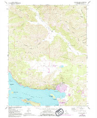
1958 Map of Clearlake Oaks
USGS Topo · Published 1994About this map
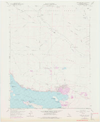
Clear Lake defines the southern edge of this landscape, where the settlements of Clearlake Oaks and Glenhaven line the shoreline. The northeast arm of the lake is marked by several prominent islands, including Anderson Island, Weekend Island, and Rattlesnake Island, situated just off the coast from Stubbs Island. To the north, the terrain rises sharply into the High Valley Ridge and the southern reaches of the Mendocino National Forest.
Find a feature on this map
44 named features on this map. Tap any name to fly to it.
Don’t see what you’re looking for? This feature index may not catch every label — zoom into the map to look around manually.
Map Details
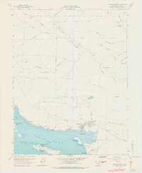
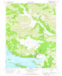
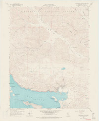
Editions of this 1958 Clearlake Oaks Map
7 editions found

Other maps of this area

1921 · Kelseyville
USGS Topo · 1:62,500

1924 · Bartlett Springs
USGS Topo · 1:62,500

1938 · Lakeport
USGS Topo · 1:62,500

1942 · Bartlett Springs
USGS Topo · 1:62,500

1943 · Kelseyville
USGS Topo · 1:62,500

1944 · Bartlett Springs
USGS Topo · 1:62,500

1945 · Lower Lake
USGS Topo · 1:62,500

1947 · Santa Rosa
USGS Topo · 1:250,000

1949 · Santa Rosa
USGS Topo · 1:250,000

1951 · Lakeport
USGS Topo · 1:62,500