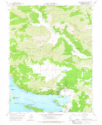
1958 Map of Clearlake Oaks
USGS Topo · Published 1967About this map
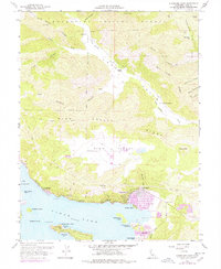
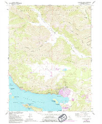
Clear Lake dominates the southern portion of this map, its shoreline marked by the established waterfront community of Clearlake Oaks and the nearby Glenhaven. The landscape shifts from the bustling shoreline at The Narrows to the industrial and cultural landmarks at Sulphur Bank Point. Notable for local history is the Sulphur Bank Rancheria and the adjacent Sulphur Bank Mine, reflecting the complex layering of Indigenous presence and early mercury mining in Lake County.
Find a feature on this map
48 named features on this map. Tap any name to fly to it.
Don’t see what you’re looking for? This feature index may not catch every label — zoom into the map to look around manually.
Map Details
Editions of this 1958 Clearlake Oaks Map
7 editions found

Other maps of this area

1921 · Kelseyville
USGS Topo · 1:62,500

1924 · Bartlett Springs
USGS Topo · 1:62,500

1938 · Lakeport
USGS Topo · 1:62,500

1942 · Bartlett Springs
USGS Topo · 1:62,500

1943 · Kelseyville
USGS Topo · 1:62,500

1944 · Bartlett Springs
USGS Topo · 1:62,500

1945 · Lower Lake
USGS Topo · 1:62,500

1947 · Santa Rosa
USGS Topo · 1:250,000

1949 · Santa Rosa
USGS Topo · 1:250,000

1951 · Lakeport
USGS Topo · 1:62,500