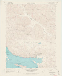
1958 Map of Clearlake Oaks
USGS Topo · Published 1967About this map
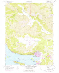
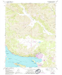
Clear Lake dominates the southern landscape of this mid-century survey, with the waterfront communities of Clearlake Oaks and Glenhaven emerging as key population centers along the northern shore. The era is defined by a mix of agricultural ranching and industrial extraction, most notably at the Sulphur Bank Mine situated near Sulphur Bank Point. Inland, the terrain rises sharply into High Valley and the Mendocino National Forest, where established family holdings like Garner Ranch and Kennedy Ranch occupy the more level ground of Long Valley. Local infrastructure of the late 1950s is evidenced by the East Lake Sch and the Fire Control Station near the narrows. The map also documents the Sulphur Bank Rancheria and several prominent islands, including Rattlesnake Island and Anderson Island, which characterize the complex shoreline of this volcanic lake region.
Find a feature on this map
48 named features on this map. Tap any name to fly to it.
Don’t see what you’re looking for? This feature index may not catch every label — zoom into the map to look around manually.
Map Details
Editions of this 1958 Clearlake Oaks Map
7 editions found

Other maps of this area

1921 · Kelseyville
USGS Topo · 1:62,500

1924 · Bartlett Springs
USGS Topo · 1:62,500

1938 · Lakeport
USGS Topo · 1:62,500

1942 · Bartlett Springs
USGS Topo · 1:62,500

1943 · Kelseyville
USGS Topo · 1:62,500

1944 · Bartlett Springs
USGS Topo · 1:62,500

1945 · Lower Lake
USGS Topo · 1:62,500

1947 · Santa Rosa
USGS Topo · 1:250,000

1949 · Santa Rosa
USGS Topo · 1:250,000

1951 · Lakeport
USGS Topo · 1:62,500