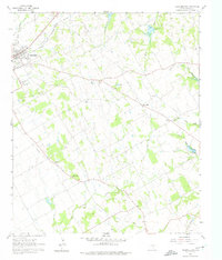
1960 Map of Cleburne East
USGS Topo · Published 1975About this map
The southeastern edge of Cleburne anchors this landscape, where the G. C. and Santa Fe Railroad railroad tracks cut through the terrain near several significant burial grounds, including the expansive Cleburne Memorial Park Cemetery and Oak Cem. Beyond the city limits, the map reveals a rural network of small community centers centered around local institutions like Liberty Chapel Sch and Friendship Ch.
Find a feature on this map
31 named features on this map. Tap any name to fly to it.
Don’t see what you’re looking for? This feature index may not catch every label — zoom into the map to look around manually.
Map Details
Editions of this 1960 Cleburne East Map
4 editions found
Other maps of this area

1891 · Cleburne
USGS Topo · 1:125,000

1894 · Cleburne
USGS Topo · 1:125,000

1924 · Cleburne 3-B
USGS Topo · 1:48,000

1927 · Blum
USGS Topo · 1:62,500

1954 · Dallas
USGS Topo · 1:250,000

1958 · Dallas
USGS Topo · 1:250,000

1960 · Keene
USGS Topo · 1:24,000

1960 · Cleburne East
USGS Topo · 1:24,000
1961 · Cleburne West
USGS Topo · 1:24,000

1961 · Alvarado
USGS Topo · 1:24,000