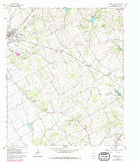
1960 Map of Cleburne East
USGS Topo · Published 1979About this map
The rail-driven city of Cleburne serves as the focal point for this 1960s-era study, where the heavy presence of the Atchison Topeka and Santa Fe railroad dominates the local landscape and economy. Beyond the municipal limits, the terrain transitions into a mosaic of rural communities and church-centered settlements like Sand Flat, Cuba, and Rock. The eastern drainage is defined by the headwaters of the Chambers Creek system, including the Middle Fork and South Fork Chambers Creek, while the southwestern section is marked by the wandering path of Mustang Creek. This map captures a particular moment of local change, documenting an Old Railroad Grade and the emergence of specialized land uses such as Minnow Ponds and a private Landing Strip. For family historians, the inclusion of the Oak Cem, Faulkenberry Cem, and Morrow Cem provides critical anchors for tracing 19th-century Johnson County residents.
Find a feature on this map
40 named features on this map. Tap any name to fly to it.
Don’t see what you’re looking for? This feature index may not catch every label — zoom into the map to look around manually.
Map Details
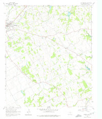
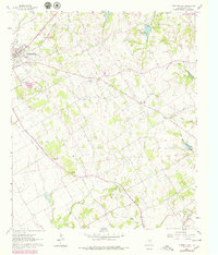
Editions of this 1960 Cleburne East Map
4 editions found
Other maps of this area

1891 · Cleburne
USGS Topo · 1:125,000

1894 · Cleburne
USGS Topo · 1:125,000

1924 · Cleburne 3-B
USGS Topo · 1:48,000

1927 · Blum
USGS Topo · 1:62,500

1954 · Dallas
USGS Topo · 1:250,000

1958 · Dallas
USGS Topo · 1:250,000

1960 · Keene
USGS Topo · 1:24,000

1960 · Cleburne East
USGS Topo · 1:24,000
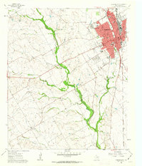
1961 · Cleburne West
USGS Topo · 1:24,000

1961 · Alvarado
USGS Topo · 1:24,000