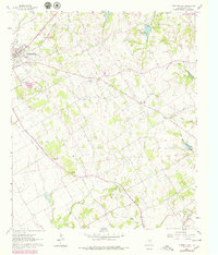
1960 Map of Cleburne East
USGS Topo · Published 1979About this map
Cleburne anchors the western edge of this 1960s landscape, where the Atchison Topeka And Santa Fe rail lines meet the developing suburbs and cemeteries of East Johnson County. The terrain shifts from the established neighborhoods around Rose Hill Cem and Oak Hill into a rural landscape defined by the watershed of Buffalo Creek and Mustang Creek. This period transition is visible in the network of country roads connecting community centers like Sand Flat and Cuba.
Find a feature on this map
37 named features on this map. Tap any name to fly to it.
Don’t see what you’re looking for? This feature index may not catch every label — zoom into the map to look around manually.
Map Details
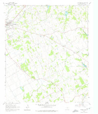
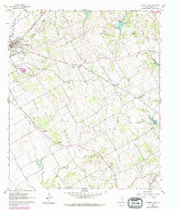
Editions of this 1960 Cleburne East Map
4 editions found
Other maps of this area

1891 · Cleburne
USGS Topo · 1:125,000

1894 · Cleburne
USGS Topo · 1:125,000

1924 · Cleburne 3-B
USGS Topo · 1:48,000

1927 · Blum
USGS Topo · 1:62,500

1954 · Dallas
USGS Topo · 1:250,000

1958 · Dallas
USGS Topo · 1:250,000

1960 · Keene
USGS Topo · 1:24,000

1960 · Cleburne East
USGS Topo · 1:24,000
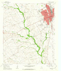
1961 · Cleburne West
USGS Topo · 1:24,000

1961 · Alvarado
USGS Topo · 1:24,000