
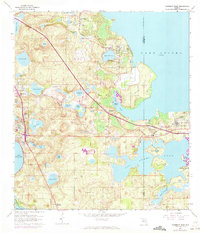
1962 Map of Clermont East
USGS Topo · Published 1964About this map
The citrus groves and lakefronts of Lake County are captured here in the early 1960s, defined by a landscape transitioning between agricultural production and growing lakeside communities. Along the western shore of Lake Apopka, the towns of Montverde and Ferndale are linked by the Seaboard Air Line railroad, which winds past local landmarks like Apopka Springs and Gourd Neck. To the west, the settlements of Clermont and Minneola sit between Lake Minnehaha and Lake Charles, reflecting the region's historic dependence on its expansive freshwater network.
Find a feature on this map
61 named features on this map. Tap any name to fly to it.
Don’t see what you’re looking for? This feature index may not catch every label — zoom into the map to look around manually.
Map Details
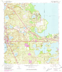
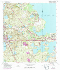
Editions of this 1962 Clermont East Map
4 editions found
Other maps of this area

1953 · Windermere
USGS Topo · 1:24,000

1955 · Orlando
USGS Topo · 1:250,000

1956 · Winter Garden
USGS Topo · 1:24,000

1957 · Orlando
USGS Topo · 1:250,000

1958 · Orlando
USGS Topo · 1:250,000

1959 · Lake Nellie
USGS Topo · 1:24,000

1959 · Lake Louisa
USGS Topo · 1:24,000

1960 · Apopka
USGS Topo · 1:24,000

1962 · Orlando
USGS Topo · 1:250,000

1962 · Astatula
USGS Topo · 1:24,000