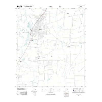
2010 Map of Cleveland
USGS Topo · Published 2010About this map
Cleveland and its surrounding countryside in Liberty County show a landscape shaped by petroleum extraction and natural waterways during the early 21st century. The town serves as a hub for the region, with development extending toward smaller locales like Nimrod, Grady, and Bendetsen. The East Fork San Jacinto River and its tributaries, including Whisky Branch and Red Gully, define the western edge of the area, while the eastern portion is marked by the sprawling Tarkington Bayou.
Find a feature on this map
61 named features on this map. Tap any name to fly to it.
Don’t see what you’re looking for? This feature index may not catch every label — zoom into the map to look around manually.
Map Details
Editions of this 2010 Cleveland Map
This is the sole edition of this map. No revisions or reprints were ever made.
Other maps of this area

1943 · Liberty
USGS Topo · 1:125,000

1954 · Beaumont
USGS Topo · 1:250,000

1955 · Rayburn
USGS Topo · 1:62,500

1955 · Liberty
USGS Topo · 1:62,500

1957 · Beaumont
USGS Topo · 1:250,000

1958 · Fostoria
USGS Topo · 1:24,000

1958 · Cleveland
USGS Topo · 1:24,000

1958 · Westcott
USGS Topo · 1:24,000

1958 · Bear Creek
USGS Topo · 1:24,000

1959 · Plum Grove
USGS Topo · 1:24,000