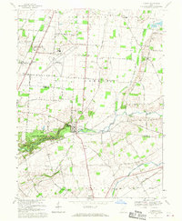
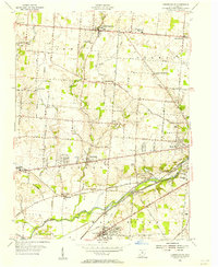
1968 Map of Clifton
USGS Topo · Published 1970About this map
Clifton Gorge and the rugged canyon of the Little Miami River anchor this 1968 study of the border between Clark and Greene Counties. The landscape is a mix of agricultural plateaus and dramatic glacial carvings, most notable within John Bryan State Park. Here, monuments like the Olton Memorial Monument and Horace Mann Memorial Monument mark the area's cultural significance. To the north and south, the traditional grid of rural Ohio is evident in the settlements of Clifton, Cedarville, and Hustead.
Find a feature on this map
60 named features on this map. Tap any name to fly to it.
Don’t see what you’re looking for? This feature index may not catch every label — zoom into the map to look around manually.
Map Details
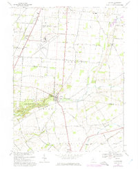
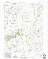
Editions of this 1968 Clifton Map
3 editions found
Other maps of this area

1904 · Springfield
USGS Topo · 1:62,500

1906 · Springfield
USGS Topo · 1:62,500

1907 · South Charleston
USGS Topo · 1:62,500

1916 · Octa
USGS Topo · 1:62,500

1917 · Xenia
USGS Topo · 1:62,500

1944 · Octa
USGS Topo · 1:62,500

1947 · Columbus
USGS Topo · 1:250,000

1954 · Clifton
USGS Topo · 1:24,000
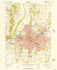
1955 · Springfield
USGS Topo · 1:24,000
1955 · Donnelsville
USGS Topo · 1:24,000